
3D Laser Scanning Dubai & UAE
Millimetre-accurate point clouds for as-built modelling, retrofit design, and forensic measurement.
What Is 3D Laser Scanning?
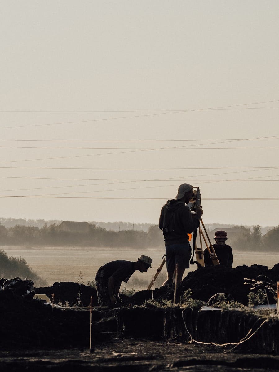
3D laser scanning (terrestrial LiDAR) uses a pulsed laser to capture millions of precise measurement points across an existing structure, site, or space in a matter of minutes. The result is a dense, millimetre-accurate point cloud — a digital replica of the physical environment that can be viewed, measured, and modelled in 3D without returning to site. Vigo Burj deploys Leica and Faro terrestrial scanners, producing registered point clouds processed in Leica Cyclone or Autodesk ReCap and delivered as scan-to-BIM Revit models, as-built CAD drawings, or raw point cloud data in industry-standard formats (E57, RCP, LAS, XYZ). 3D laser scanning is particularly valuable in the UAE's active retrofit and refurbishment sector, where capturing as-built conditions without disrupting operations is critical.
- Discipline
- Land Surveying
- Coverage
- UAE-wide
- Standards
- FIG · ISO 19650
- Leica
- Trimble
- Topcon
- Faro
- FIG
- RICS
- ISO 17123
- ISO 19650
- BIM Level 2
- UAE National BIM Programme (NBP)
- DEWA Regulations
- Dubai Municipality Standards
- UAE Civil Defence Code
How we deliver 3d laser scanning
A disciplined four-stage process applied to every land surveying engagement — residential to industrial.
- 01
Brief & site recon
Scope, accuracy, deliverables, and access agreed in writing before mobilisation.
- 02
Field work
Calibrated equipment, documented method, named lead surveyor on every site.
- 03
Processing & QA
Office processing with a second-engineer review before any deliverable leaves.
- 04
Handover
Drawings, raw data, and a written report — formatted for your team or the authority.
You may also need
Pair this service with closely related work for a single coordinated handover.

BIM Modelling
Coordinated 3D Revit models, LOD 100–400, ISO 19650 compliant and NBP-ready.
Learn more
As-Built Survey
Authority handover documentation for completion certificates and occupancy permits.
Learn more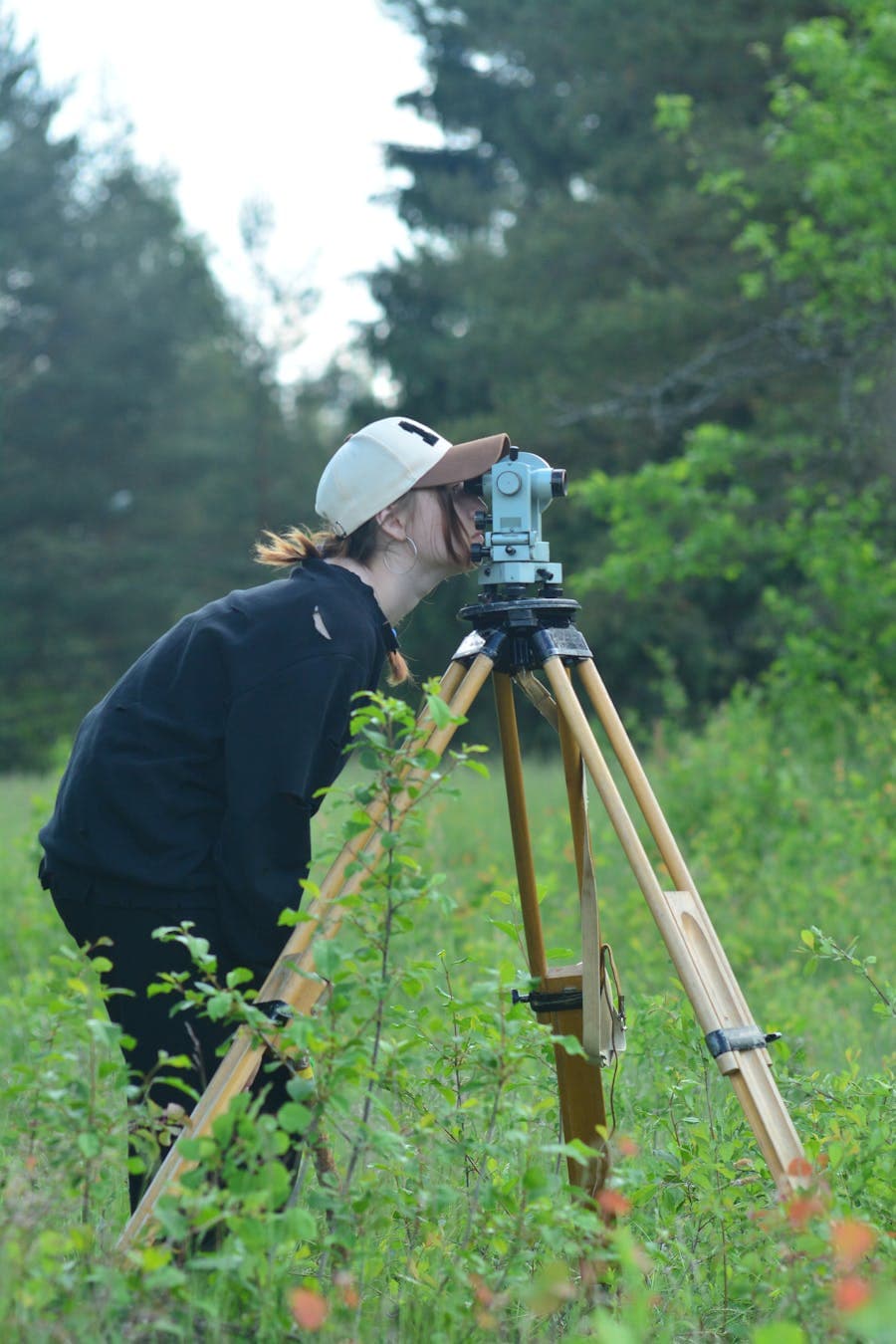
Topographic Survey
Precise mapping of ground elevations and site features for design and construction across the UAE.
Learn more
Ready to start your next project?
Tell us about your site or programme. We will respond within one business day with a clear scope, schedule, and fixed-fee quote — no obligation. UAE-wide availability. International projects welcome.