


Topographic · Total Station · GPS · 3D Laser · As-Built · Demarcation · Setting Out
Land Surveying. Measured to Millimetres, Delivered on Time.
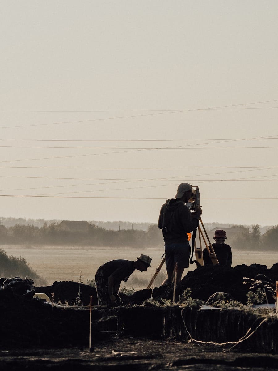
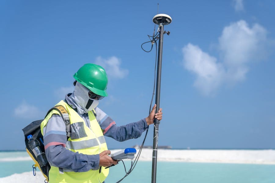
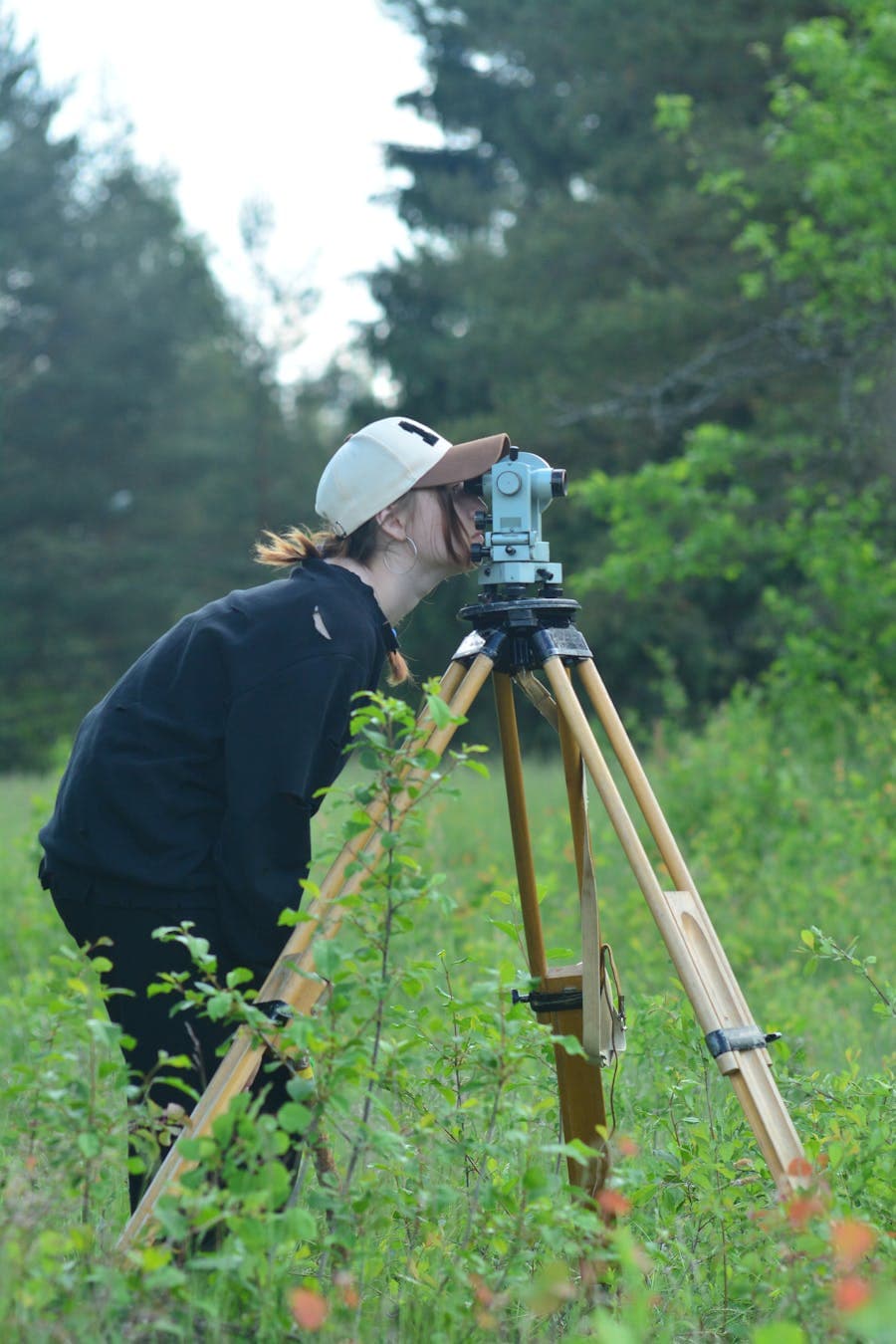
From single-plot demarcation to large-area topographic mapping, Vigo Burj deploys calibrated total stations, RTK GPS, and 3D laser scanners on every project. Our field methodology aligns with FIG and ISO 17123 standards. Deliverables are formatted for Dubai Municipality, Abu Dhabi DMT, and Sharjah authority submissions and are BIM-ready from the moment they leave our office.
Read more about topographic survey